| United Tribes of Te Ao Miats’yal ts’yeghery Te Aoyum (Yeranery) Yhdistynyt heimot Teaoan (Fennju Luminärviainen) Treibheanna aontaithe na Teáo (South Eastern Irsan) Aettkvíslir sameinaðir Te Ao (Ekruvoric Dyrian) Teaoïya birıñğay taypaları (Şeksösterian) Tahoê iwi o te ao (Hohonu-reo) Teao-yn negdsen ovog (Züüdgazari) Llwythau unedig o Te Ao (Cartrefiaith) |
||||
|---|---|---|---|---|
|
||||
| Motto: "Fylgja hringja og sameina" (Ekruvoric Dyrian) "Follow the call and unite" |
||||
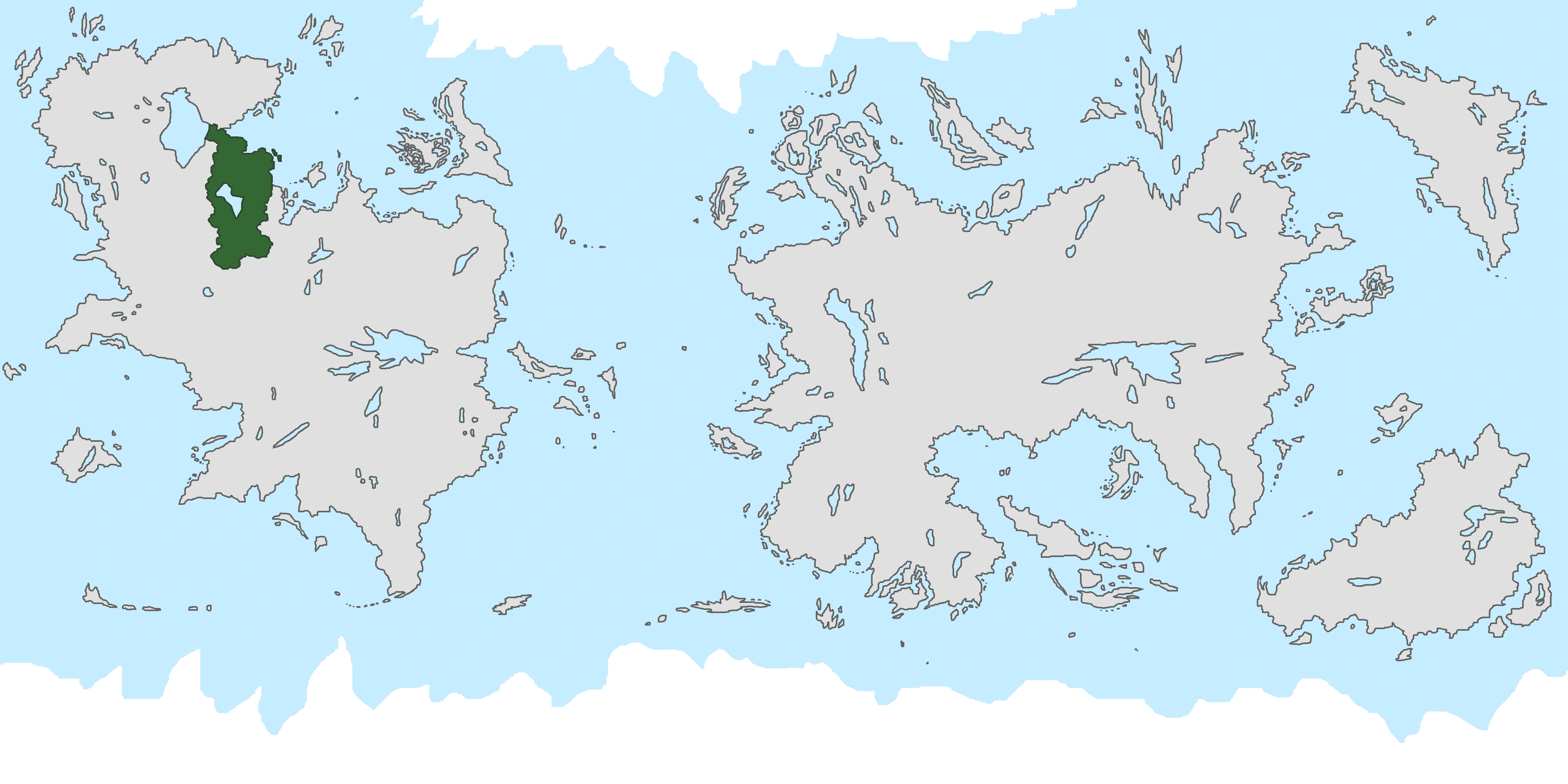 Location of United Tribes of Te Ao on the world map.
|
||||
 Location of United Tribes of Te Ao on the globe.
|
||||
| Capital and largest city | Concilium | |||
| Official languages | Engju Partly: - Şeksösterian - Züüdgazari - Hohonu-Reo - Ekruvoric Dyrian - Cartrefiaith - Fennju - Southeastern Irsan - Yeraneryan |
|||
| Demonym | Teaoan | |||
| Government | Federative Republic | |||
| - | Major Council Head of Te Ao | Syngjabjörn Hættusteinar | ||
| - | Deputive Council Head | Clyfar dyn Bonheddig | ||
| - | District Council Head | Tetangata e Korero Anakite-rakau | ||
| Legislature | Federal Council | |||
| - | Upper house | District Council | ||
| - | Lower house | Deputive District Council | ||
| Area | ||||
| - | Total | 380,556 km2 Expression error: Unrecognized punctuation character ",". sq mi |
||
| Population | ||||
| - | estimate | 7.850.00 | ||
| - | Density | 20,63/km2 Expression error: Unrecognized punctuation character ","./sq mi |
||
| Currency | Invitam (!) | |||
| Time zone | (UTC-8 / -9 for Luminärviä) | |||
| Antipodes | Lakadamia | |||
| Date format | DD.MM.YYYY | |||
| Drives on the | no law for that (most times the right) | |||
| ISO 3166 code | TA | |||
| Internet TLD | .ta | |||

The United Tribes of Te Ao (UTTA), commonly known as Te Ao or the Teaoan Tribes is a country in Westmont, Fantasia. Te Ao is Federative Republic composed of eight partly independent tribes, and 47 districts. Te Ao is placed between Patriae in the north, Freyhurst in the south, the Ruyjin Republic in the west and Atlandia in the east.
Geography, climate and environment[]
Landscape[]
Te Ao is covered mainly with wide grasslands. There are also some forestal areas, like the northwest and the most parts of Hohonu. Many areas are flat, but there are also hillock regions as well as a small mountain range in the north. In the centre of Te Ao there is a big lake, called the central lake. The northern and eastern coast is mostly covered with lowlands and grasslands. In the east and north-east, there are some big bogs and wetlands, with the biggest covering nearly the whole central Anbportach. When it comes to lakes, Te Ao hasn't that much. The only area where you can find bigger lakes is the boggy region in Anbportach.
There are several rivers in Anbportach flowing in the sea or the central lake. The longest river begins in many hundreds of springs in the wet forests of Hohonu, or the hillocks laying in south of the forests. All these little streams unite at some point, so there is a huge swampy forest far away from any kind of sea. This river passes Hohonu and Seksösteri, and is the border between Züüdgazar and Seksösteri for a few kilometres. The river is the main source of the water in the central lake toghether with some other rivers. Most of the water of the central lake sickers in the swamps of Anbportach.
Administrative Divisions[]
Te Ao is divided into eight partly sovereign tribes, each with it's own language and culture. Additionally, there is one exceptional administrative zone, the capital district. Here you can see the nine administrative divisions:
| Division | Population | Area | Capital | Official Languages | Districts |
|---|---|---|---|---|---|
| 1,200,000 | - | Isosatama | Fennju Luminärviainen | 7 | |
| 11.000.000 | - | ? | Cartrefiaith | 5 | |
| 20.000.000 | - | Ferjubae | Ekruvoric Dyrian | 9 | |
| 19.000.000 | - | ? | Yeraneryan | 9 | |
| 7.000.000 | - | ? | South Eastern Irsan | 6 |
More to come soon